
Thank you for supporting this site ❤️
Make a donation
Make a donation
Usón topographic map
Click on the map to display elevation.
Thank you for supporting this site ❤️
Make a donation
Make a donation
About this map
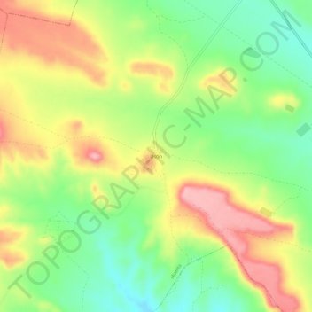
Name: Usón topographic map, elevation, terrain.
Location: Usón, Huerto, Los Monegros, Huesca, Aragón, 22212, España (41.91927 -0.24201 41.95927 -0.20201)
Average elevation: 428 m
Minimum elevation: 363 m
Maximum elevation: 503 m
Thank you for supporting this site ❤️
Make a donation
Make a donation