
Valbona topographic map
Interactive map
Click on the map to display elevation.
About this map
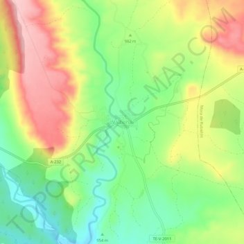
Name: Valbona topographic map, elevation, terrain.
Location: Valbona, Gúdar-Javalambre, Teruel, Aragón, Spanje (40.20847 -0.83123 40.24847 -0.79123)
Average elevation: 982 m
Minimum elevation: 904 m
Maximum elevation: 1,078 m