
Tijgerkreek topographic map
Interactive map
Click on the map to display elevation.
About this map
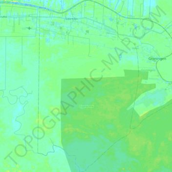
Name: Tijgerkreek topographic map, elevation, terrain.
Location: Tijgerkreek, Saramacca, Suriname (5.64973 -55.62838 5.86720 -55.50010)
Average elevation: 6 m
Minimum elevation: -1 m
Maximum elevation: 16 m
Other topographic maps
Click on a map to view its topography, its elevation and its terrain.
Sidoredjo
Suriname > Saramacca > Tijgerkreek > Sidoredjo
Sidoredjo, Tijgerkreek, Saramacca, Suriname
Average elevation: 4 m