
Thank you for supporting this site ❤️
Make a donation
Make a donation
Llannon topographic map
Click on the map to display elevation.
Thank you for supporting this site ❤️
Make a donation
Make a donation
About this map
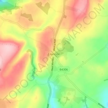
Name: Llannon topographic map, elevation, terrain.
Location: Llannon, Carmarthenshire, Wales, SA14 6AA, United Kingdom (51.73564 -4.13716 51.77564 -4.09716)
Average elevation: 180 m
Minimum elevation: 85 m
Maximum elevation: 275 m
Thank you for supporting this site ❤️
Make a donation
Make a donation