
Kemmel topographic map
Interactive map
Click on the map to display elevation.
About this map
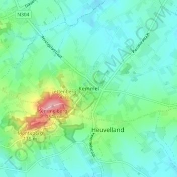
Name: Kemmel topographic map, elevation, terrain.
Location: Kemmel, Heuvelland, West-Vlaanderen, Vlaanderen, 8956, België (50.76286 2.80587 50.80286 2.84587)
Average elevation: 55 m
Minimum elevation: 26 m
Maximum elevation: 153 m