
Thank you for supporting this site ❤️
Make a donation
Make a donation
Makaho topographic map
Click on the map to display elevation.
Thank you for supporting this site ❤️
Make a donation
Make a donation
About this map
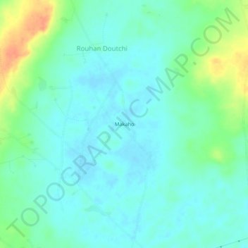
Name: Makaho topographic map, elevation, terrain.
Location: Makaho, Rouhan Doutchi, Mirriah, Zinder Region, Niger (13.69219 8.48751 13.73219 8.52751)
Average elevation: 452 m
Minimum elevation: 441 m
Maximum elevation: 481 m
Thank you for supporting this site ❤️
Make a donation
Make a donation