
Danwar topographic map
Click on the map to display elevation.
About this map
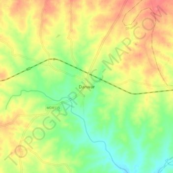
Name: Danwar topographic map, elevation, terrain.
Location: Danwar, Dhanwar, Giridih, Jharkhand, 825412, India (24.37075 85.94184 24.45075 86.02184)
Average elevation: 351 m
Minimum elevation: 319 m
Maximum elevation: 383 m