
Bandenkop topographic map
Interactive map
Click on the map to display elevation.
About this map
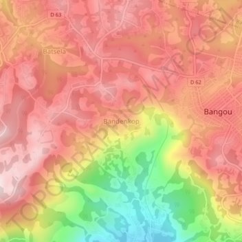
Name: Bandenkop topographic map, elevation, terrain.
Location: Bandenkop, Hauts-Plateaux, Ouest, Cameroun (5.22813 10.36066 5.26813 10.40066)
Average elevation: 1,765 m
Minimum elevation: 1,492 m
Maximum elevation: 1,915 m