
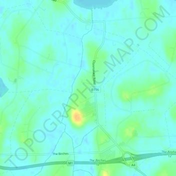
Clonmakate topographic map
Interactive map
Click on the map to display elevation.
About this map
Name: Clonmakate topographic map, elevation, terrain.
Average elevation: 17 m
Minimum elevation: 11 m
Maximum elevation: 37 m
Other topographic maps
Click on a map to view its topography, its elevation and its terrain.
Derrylard
Royaume-Uni > Irlande du Nord > Maghery
Derrylard, Maghery, County Armagh, Irlande du Nord, Royaume-Uni
Average elevation: 16 m
Derryane
Royaume-Uni > Irlande du Nord > Maghery
Derryane, Maghery, County Armagh, Irlande du Nord, Royaume-Uni
Average elevation: 18 m