
Ballycreelly topographic map
Interactive map
Click on the map to display elevation.
About this map
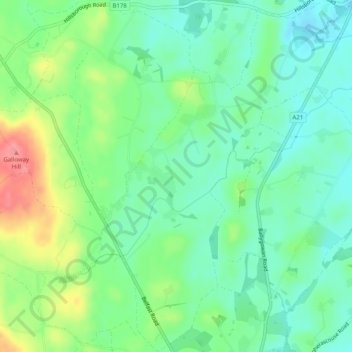
Name: Ballycreelly topographic map, elevation, terrain.
Average elevation: 69 m
Minimum elevation: 41 m
Maximum elevation: 124 m
Other topographic maps
Click on a map to view its topography, its elevation and its terrain.
Ballygowan
Royaume-Uni > Irlande du Nord > Ballygowan
Ballygowan, County Down, Irlande du Nord, BT23 6HB, Royaume-Uni
Average elevation: 67 m