
Arnsdorf topographic map
Interactive map
Click on the map to display elevation.
About this map
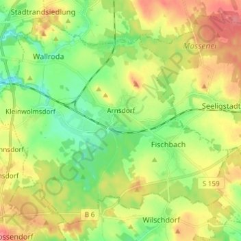
Name: Arnsdorf topographic map, elevation, terrain.
Location: Arnsdorf, Bautzen, Saksen, 01477, Duitsland (51.06086 13.92663 51.12662 14.04729)
Average elevation: 272 m
Minimum elevation: 235 m
Maximum elevation: 320 m