
Oud-Lutten topographic map
Interactive map
Click on the map to display elevation.
About this map
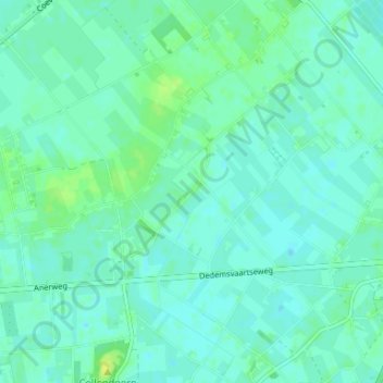
Name: Oud-Lutten topographic map, elevation, terrain.
Location: Oud-Lutten, Overijssel, Nederland, 7775, Nederland (52.60057 6.59283 52.64057 6.63283)
Average elevation: 10 m
Minimum elevation: 5 m
Maximum elevation: 21 m