
Thank you for supporting this site ❤️
Make a donation
Make a donation
Poshonari topographic map
Click on the map to display elevation.
Thank you for supporting this site ❤️
Make a donation
Make a donation
About this map
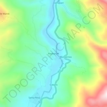
Name: Poshonari topographic map, elevation, terrain.
Location: Poshonari, Mazamari, Satipo, Junín, Perú (-11.28254 -74.44773 -11.24254 -74.40773)
Average elevation: 616 m
Minimum elevation: 408 m
Maximum elevation: 1,060 m
Thank you for supporting this site ❤️
Make a donation
Make a donation
Other topographic maps
Click on a map to view its topography, its elevation and its terrain.