
Thank you for supporting this site ❤️
Make a donation
Make a donation
San Antonio topographic map
Click on the map to display elevation.
Thank you for supporting this site ❤️
Make a donation
Make a donation
About this map
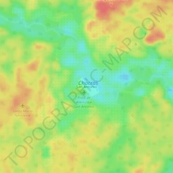
Name: San Antonio topographic map, elevation, terrain.
Location: San Antonio, Mitú, Vaupés, RAP Amazonía, Colombia (0.66106 -70.45690 0.70106 -70.41690)
Average elevation: 206 m
Minimum elevation: 177 m
Maximum elevation: 232 m
Thank you for supporting this site ❤️
Make a donation
Make a donation
Other topographic maps
Click on a map to view its topography, its elevation and its terrain.