
Thank you for supporting this site ❤️
Make a donation
Make a donation
Aurangabad topographic map
Click on the map to display elevation.
Thank you for supporting this site ❤️
Make a donation
Make a donation
About this map
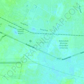
Name: Aurangabad topographic map, elevation, terrain.
Location: Aurangabad, Lucknow, Uttar Pradesh, 226012, India (26.75046 80.89408 26.79046 80.93408)
Average elevation: 122 m
Minimum elevation: 118 m
Maximum elevation: 126 m
Thank you for supporting this site ❤️
Make a donation
Make a donation
Other topographic maps
Click on a map to view its topography, its elevation and its terrain.