
Thank you for supporting this site ❤️
Make a donation
Make a donation
Umrala topographic map
Click on the map to display elevation.
Thank you for supporting this site ❤️
Make a donation
Make a donation
About this map
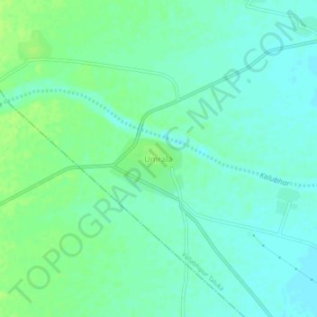
Name: Umrala topographic map, elevation, terrain.
Location: Umrala, Vallabhipur Taluka, Bhavnagar, Gujarat, 364330, India (21.82374 71.78493 21.86374 71.82493)
Average elevation: 24 m
Minimum elevation: 18 m
Maximum elevation: 30 m
Thank you for supporting this site ❤️
Make a donation
Make a donation