
Donas topographic map
Interactive map
Click on the map to display elevation.
About this map
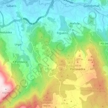
Name: Donas topographic map, elevation, terrain.
Location: Donas, Gondomar, Vigo, Pontevedra, Galiza, Espanha (42.05682 -8.81162 42.11370 -8.75581)
Average elevation: 212 m
Minimum elevation: 0 m
Maximum elevation: 648 m