
Thank you for supporting this site ❤️
Make a donation
Make a donation
el Cogul topographic map
Click on the map to display elevation.
Thank you for supporting this site ❤️
Make a donation
Make a donation
About this map
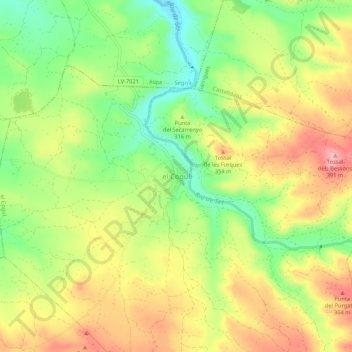
Name: el Cogul topographic map, elevation, terrain.
Location: el Cogul, Garrigues, Lleida, Catalonia, 25152, Spain (41.44702 0.66942 41.48702 0.70942)
Average elevation: 310 m
Minimum elevation: 236 m
Maximum elevation: 387 m
Thank you for supporting this site ❤️
Make a donation
Make a donation