
Thank you for supporting this site ❤️
Make a donation
Make a donation
El Temporal topographic map
Click on the map to display elevation.
Thank you for supporting this site ❤️
Make a donation
Make a donation
About this map
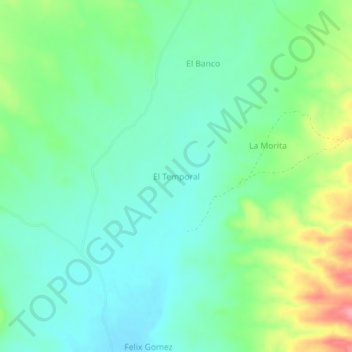
Name: El Temporal topographic map, elevation, terrain.
Location: El Temporal, Pitiquito, Sonora, México (29.83550 -111.49050 29.87550 -111.45050)
Average elevation: 699 m
Minimum elevation: 666 m
Maximum elevation: 777 m
Thank you for supporting this site ❤️
Make a donation
Make a donation