
Thank you for supporting this site ❤️
Make a donation
Make a donation
Jangloo topographic map
Click on the map to display elevation.
Thank you for supporting this site ❤️
Make a donation
Make a donation
About this map
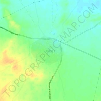
Name: Jangloo topographic map, elevation, terrain.
Location: Jangloo, Nokha Tehsil, Bikaner, Rajasthan, India (27.65981 73.22263 27.69981 73.26263)
Average elevation: 291 m
Minimum elevation: 278 m
Maximum elevation: 308 m
Thank you for supporting this site ❤️
Make a donation
Make a donation