
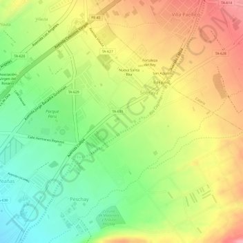
Río Caplina topographic map
Interactive map
Click on the map to display elevation.
About this map
Name: Río Caplina topographic map, elevation, terrain.
Location: Río Caplina, Pocollay, Tacna, 23000, Perú (-18.01006 -70.21543 -17.98173 -70.19292)
Average elevation: 711 m
Minimum elevation: 646 m
Maximum elevation: 771 m
Other topographic maps
Click on a map to view its topography, its elevation and its terrain.