
Thank you for supporting this site ❤️
Make a donation
Make a donation
Al Luwaybidah topographic map
Click on the map to display elevation.
Thank you for supporting this site ❤️
Make a donation
Make a donation
About this map
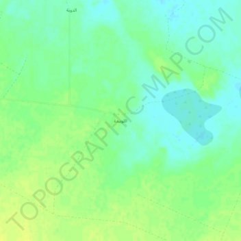
Name: Al Luwaybidah topographic map, elevation, terrain.
Location: Al Luwaybidah, Baqa, Ḥa'il Province, Saudi Arabia (27.53318 42.69811 27.57318 42.73811)
Average elevation: 764 m
Minimum elevation: 755 m
Maximum elevation: 772 m
Thank you for supporting this site ❤️
Make a donation
Make a donation
Other topographic maps
Click on a map to view its topography, its elevation and its terrain.