
Thank you for supporting this site ❤️
Make a donation
Make a donation
Ocotepeque topographic map
Click on the map to display elevation.
Thank you for supporting this site ❤️
Make a donation
Make a donation
About this map
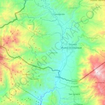
Name: Ocotepeque topographic map, elevation, terrain.
Location: Ocotepeque, Honduras (14.36475 -89.33427 14.48581 -89.10863)
Average elevation: 1,250 m
Minimum elevation: 637 m
Maximum elevation: 2,704 m
Thank you for supporting this site ❤️
Make a donation
Make a donation