
St. Johns topographic map
Interactive map
Click on the map to display elevation.
About this map
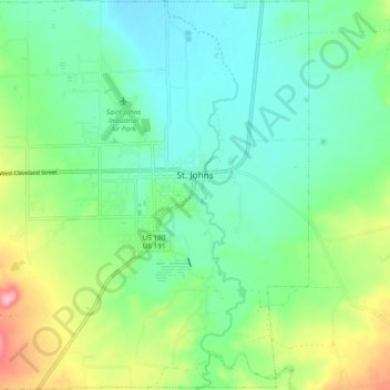
Name: St. Johns topographic map, elevation, terrain.
Average elevation: 1,757 m
Minimum elevation: 1,715 m
Maximum elevation: 1,861 m
Other topographic maps
Click on a map to view its topography, its elevation and its terrain.
Apache County
États-Unis d'Amérique > Arizona > Apache County
Apache County, Arizona, États-Unis d'Amérique
Average elevation: 1,926 m