
Parfondruy topographic map
Interactive map
Click on the map to display elevation.
About this map
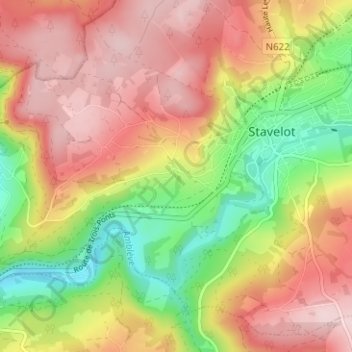
Name: Parfondruy topographic map, elevation, terrain.
Location: Parfondruy, Liège, Wallonie, 4980, Belgique (50.36914 5.89403 50.40914 5.93403)
Average elevation: 388 m
Minimum elevation: 245 m
Maximum elevation: 508 m