
Thank you for supporting this site ❤️
Make a donation
Make a donation
Utila topographic map
Click on the map to display elevation.
Thank you for supporting this site ❤️
Make a donation
Make a donation
About this map
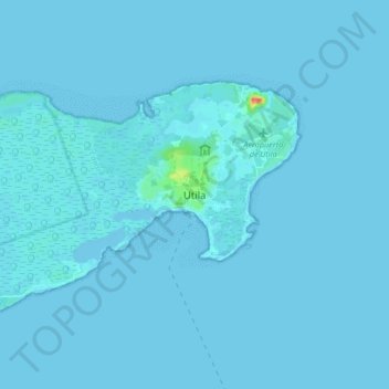
Name: Utila topographic map, elevation, terrain.
Location: Utila, Bay Islands, 34201, Honduras (16.06051 -86.93499 16.14051 -86.85499)
Average elevation: 1 m
Minimum elevation: -2 m
Maximum elevation: 53 m
Thank you for supporting this site ❤️
Make a donation
Make a donation
Other topographic maps
Click on a map to view its topography, its elevation and its terrain.