
Werchter topographic map
Interactive map
Click on the map to display elevation.
About this map
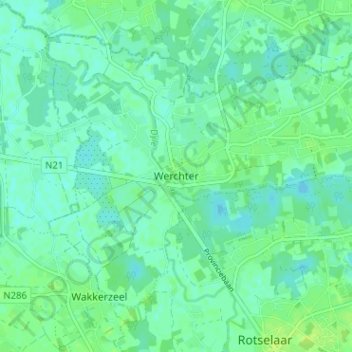
Name: Werchter topographic map, elevation, terrain.
Location: Werchter, Brabant flamand, Flandre, 3118, Belgique (50.95015 4.67336 50.99015 4.71336)
Average elevation: 9 m
Minimum elevation: 4 m
Maximum elevation: 17 m