
Thank you for supporting this site ❤️
Make a donation
Make a donation
Ronneby topographic map
Click on the map to display elevation.
Thank you for supporting this site ❤️
Make a donation
Make a donation
About this map
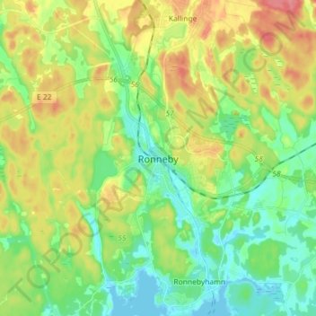
Name: Ronneby topographic map, elevation, terrain.
Location: Ronneby, Ronneby kommun, Blekinge län, 372 35, Suécia (56.17004 15.23604 56.25004 15.31604)
Average elevation: 27 m
Minimum elevation: -1 m
Maximum elevation: 70 m
Thank you for supporting this site ❤️
Make a donation
Make a donation