
Thank you for supporting this site ❤️
Make a donation
Make a donation
Adaton topographic map
Click on the map to display elevation.
Thank you for supporting this site ❤️
Make a donation
Make a donation
About this map
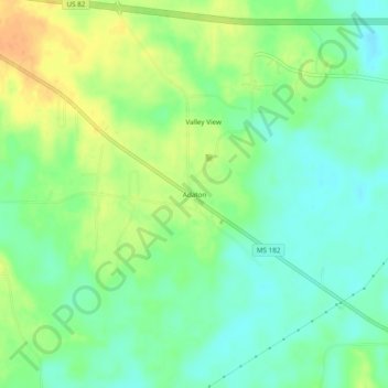
Name: Adaton topographic map, elevation, terrain.
Location: Adaton, Oktibbeha County, Mississippi, United States (33.45734 -88.94145 33.49734 -88.90145)
Average elevation: 78 m
Minimum elevation: 63 m
Maximum elevation: 99 m
Thank you for supporting this site ❤️
Make a donation
Make a donation
Other topographic maps
Click on a map to view its topography, its elevation and its terrain.