
Thank you for supporting this site ❤️
Make a donation
Make a donation
Asango topographic map
Click on the map to display elevation.
Thank you for supporting this site ❤️
Make a donation
Make a donation
About this map
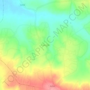
Name: Asango topographic map, elevation, terrain.
Location: Asango, Sigomere ward, Ugunja, Siaya County, Kenya (0.20503 34.33122 0.24503 34.37122)
Average elevation: 1,255 m
Minimum elevation: 1,214 m
Maximum elevation: 1,314 m
Thank you for supporting this site ❤️
Make a donation
Make a donation