
Amélékia topographic map
Interactive map
Click on the map to display elevation.
About this map
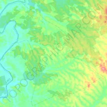
Name: Amélékia topographic map, elevation, terrain.
Location: Amélékia, Abengourou, Indénié-Djuablin, Comoé, Côte d’Ivoire (6.75240 -3.78627 7.00929 -3.52319)
Average elevation: 165 m
Minimum elevation: 118 m
Maximum elevation: 321 m
Other topographic maps
Click on a map to view its topography, its elevation and its terrain.