
Βατερό topographic map
Interactive map
Click on the map to display elevation.
About this map
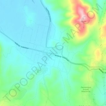
Name: Βατερό topographic map, elevation, terrain.
Average elevation: 728 m
Minimum elevation: 664 m
Maximum elevation: 928 m
Other topographic maps
Click on a map to view its topography, its elevation and its terrain.
Κοζάνη
Greece > Epirus and Western Macedonia > Kozani Regional Unit
Κοζάνη, Municipality of Kozani, Kozani Regional Unit, Western Macedonia, Epirus and Western Macedonia, 501 00, Greece
Average elevation: 766 m
Δήμος Κοζάνης
Greece > Epirus and Western Macedonia > Kozani Regional Unit
Δήμος Κοζάνης, Kozani Regional Unit, Western Macedonia, Epirus and Western Macedonia, Greece
Average elevation: 799 m