
Andrew Jackson State Park topographic map
Interactive map
Click on the map to display elevation.
About this map
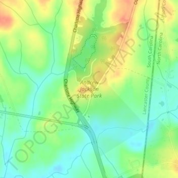
Name: Andrew Jackson State Park topographic map, elevation, terrain.
Average elevation: 165 m
Minimum elevation: 145 m
Maximum elevation: 189 m
Other topographic maps
Click on a map to view its topography, its elevation and its terrain.
Lancaster
United States > South Carolina > Lancaster County > Lancaster
Lancaster, Lancaster County, South Carolina, 29720-2135, United States
Average elevation: 156 m