
Thank you for supporting this site ❤️
Make a donation
Make a donation
Barbarosa topographic map
Click on the map to display elevation.
Thank you for supporting this site ❤️
Make a donation
Make a donation
About this map
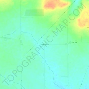
Name: Barbarosa topographic map, elevation, terrain.
Location: Barbarosa, Guadalupe County, Texas, United States (29.68134 -98.02306 29.72134 -97.98306)
Average elevation: 194 m
Minimum elevation: 181 m
Maximum elevation: 224 m
Thank you for supporting this site ❤️
Make a donation
Make a donation
Other topographic maps
Click on a map to view its topography, its elevation and its terrain.