
Yates Township topographic map
Interactive map
Click on the map to display elevation.
About this map
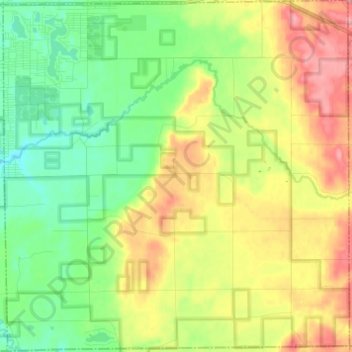
Name: Yates Township topographic map, elevation, terrain.
Average elevation: 286 m
Minimum elevation: 244 m
Maximum elevation: 347 m
Other topographic maps
Click on a map to view its topography, its elevation and its terrain.
Lake Township
États-Unis d'Amérique > Michigan > Lake County
Lake Township, Lake County, Michigan, 49394, États-Unis d'Amérique
Average elevation: 253 m