
Thank you for supporting this site ❤️
Make a donation
Make a donation
Hinterrhein topographic map
Click on the map to display elevation.
Thank you for supporting this site ❤️
Make a donation
Make a donation
About this map
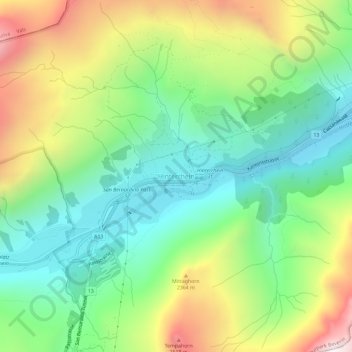
Name: Hinterrhein topographic map, elevation, terrain.
Location: Hinterrhein, Rheinwald, Viamala, Grigioni, 7438, Svizzera (46.51074 9.17935 46.55074 9.21935)
Average elevation: 2,021 m
Minimum elevation: 1,554 m
Maximum elevation: 2,839 m
Thank you for supporting this site ❤️
Make a donation
Make a donation
Other topographic maps
Click on a map to view its topography, its elevation and its terrain.