
Mojave topographic map
Interactive map
Click on the map to display elevation.
About this map
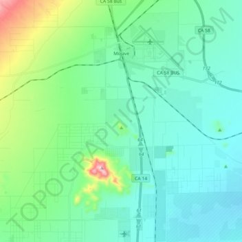
Name: Mojave topographic map, elevation, terrain.
Location: Mojave, Kern County, California, USA (34.93736 -118.25786 35.08440 -118.10427)
Average elevation: 857 m
Minimum elevation: 760 m
Maximum elevation: 1,274 m