
El Perú topographic map
Interactive map
Click on the map to display elevation.
About this map
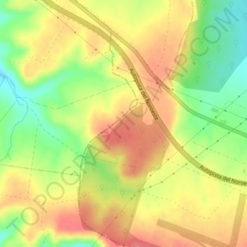
Name: El Perú topographic map, elevation, terrain.
Location: El Perú, Villacastín, Segovia, Castilla y León, España (40.78730 -4.48512 40.80730 -4.46512)
Average elevation: 1,091 m
Minimum elevation: 1,049 m
Maximum elevation: 1,123 m