
Thank you for supporting this site ❤️
Make a donation
Make a donation
San Fidel topographic map
Click on the map to display elevation.
Thank you for supporting this site ❤️
Make a donation
Make a donation
About this map
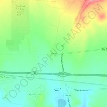
Name: San Fidel topographic map, elevation, terrain.
Location: San Fidel, Cibola County, New Mexico, 87049, United States (35.06280 -107.61805 35.10280 -107.57805)
Average elevation: 1,887 m
Minimum elevation: 1,848 m
Maximum elevation: 1,959 m
Thank you for supporting this site ❤️
Make a donation
Make a donation
Other topographic maps
Click on a map to view its topography, its elevation and its terrain.
El Malpais National Conservation Area
United States > New Mexico > Cibola County
Average elevation: 2,256 m