
Pagode topographic map
Interactive map
Click on the map to display elevation.
About this map
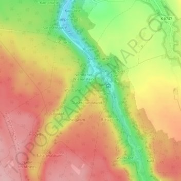
Name: Pagode topographic map, elevation, terrain.
Average elevation: 448 m
Minimum elevation: 356 m
Maximum elevation: 512 m
Other topographic maps
Click on a map to view its topography, its elevation and its terrain.
Titan
Allemagne > Saxe > Rosenthal-Bielatal
Titan, Rosenthal-Bielatal, Königstein/Sächs. Schw., Sächsische Schweiz-Osterzgebirge, Saxe, Allemagne
Average elevation: 494 m