
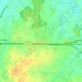
Brandhoek topographic map
Interactive map
Click on the map to display elevation.
About this map
Name: Brandhoek topographic map, elevation, terrain.
Location: Brandhoek, Vlamertinge, Ieper, West-Vlaanderen, 8908, België (50.83515 2.77022 50.87515 2.81022)
Average elevation: 21 m
Minimum elevation: 9 m
Maximum elevation: 36 m