
Sultanhisar topographic map
Interactive map
Click on the map to display elevation.
About this map
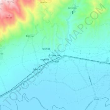
Name: Sultanhisar topographic map, elevation, terrain.
Location: Sultanhisar, Aydın, Aegean Region, Turkey (37.84986 28.11443 37.92986 28.19443)
Average elevation: 194 m
Minimum elevation: 39 m
Maximum elevation: 1,059 m