
Great Valley Grasslands State Park topographic map
Interactive map
Click on the map to display elevation.
About this map
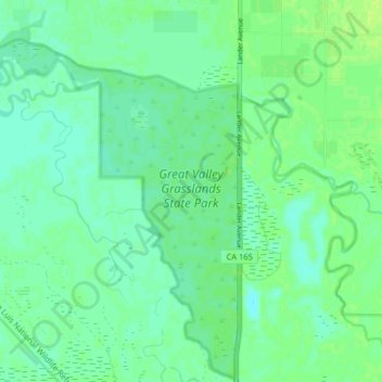
Name: Great Valley Grasslands State Park topographic map, elevation, terrain.
Average elevation: 25 m
Minimum elevation: 19 m
Maximum elevation: 30 m
Other topographic maps
Click on a map to view its topography, its elevation and its terrain.
San Luis National Wildlife Refuge
USA > California > Stevinson
San Luis National Wildlife Refuge, Lander Avenue, Stevinson, Merced County, California, 95380, USA
Average elevation: 26 m