
Kamalapur topographic map
Interactive map
Click on the map to display elevation.
About this map
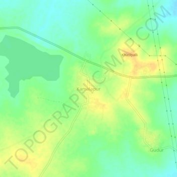
Name: Kamalapur topographic map, elevation, terrain.
Location: Kamalapur, Warangal Urban, Telangana, Índia (18.15390 79.50509 18.19390 79.54509)
Average elevation: 242 m
Minimum elevation: 228 m
Maximum elevation: 257 m
Other topographic maps
Click on a map to view its topography, its elevation and its terrain.