
Thank you for supporting this site ❤️
Make a donation
Make a donation
Broadview topographic map
Click on the map to display elevation.
Thank you for supporting this site ❤️
Make a donation
Make a donation
About this map
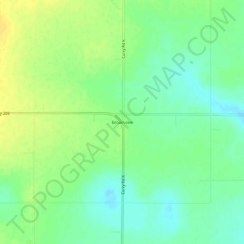
Name: Broadview topographic map, elevation, terrain.
Location: Broadview, Curry County, New Mexico, United States (34.80019 -103.23412 34.84019 -103.19412)
Average elevation: 1,376 m
Minimum elevation: 1,365 m
Maximum elevation: 1,387 m
Thank you for supporting this site ❤️
Make a donation
Make a donation
Other topographic maps
Click on a map to view its topography, its elevation and its terrain.