
Thank you for supporting this site ❤️
Make a donation
Make a donation
L'Arbarey topographic map
Click on the map to display elevation.
Thank you for supporting this site ❤️
Make a donation
Make a donation
About this map
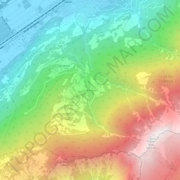
Name: L'Arbarey topographic map, elevation, terrain.
Location: L'Arbarey, Saxon, Martigny, Valais, 1907, Suisse (46.10893 7.16050 46.14893 7.20050)
Average elevation: 1,266 m
Minimum elevation: 461 m
Maximum elevation: 2,421 m
Thank you for supporting this site ❤️
Make a donation
Make a donation