
坝 topographic map
Interactive map
Click on the map to display elevation.
About this map
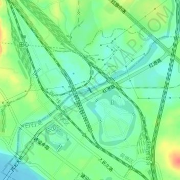
Name: 坝 topographic map, elevation, terrain.
Location: 坝, 茨菇塘街道, District de Hetang, Zhuzhou, Hunan, Chine (27.86293 113.13633 27.86360 113.13671)
Average elevation: 46 m
Minimum elevation: 28 m
Maximum elevation: 79 m