
Fântânele topographic map
Interactive map
Click on the map to display elevation.
About this map
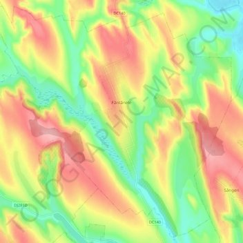
Name: Fântânele topographic map, elevation, terrain.
Location: Fântânele, Iași, 707196, Roumanie (47.37478 27.12207 47.44370 27.22911)
Average elevation: 114 m
Minimum elevation: 51 m
Maximum elevation: 179 m