
Renkum topographic map
Interactive map
Click on the map to display elevation.
About this map
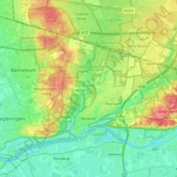
Name: Renkum topographic map, elevation, terrain.
Location: Renkum, Geldern, Niederlande (51.95899 5.71361 52.02407 5.87086)
Average elevation: 24 m
Minimum elevation: 1 m
Maximum elevation: 61 m