
Oxted topographic map
Interactive map
Click on the map to display elevation.
About this map
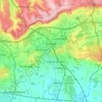
Name: Oxted topographic map, elevation, terrain.
Location: Oxted, Tandridge, Surrey, Inglaterra, Reino Unido (51.21233 -0.03626 51.28976 0.01667)
Average elevation: 128 m
Minimum elevation: 54 m
Maximum elevation: 271 m